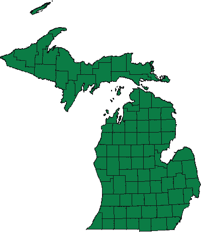
General Land Office (GLO) plat maps are derived from original surveyor notes of the State of Michigan. The survey was conducted in the early to mid 1800's. All documents pertaining to the original survey of Michigan can be found in the State Archives of Michigan.
To view a map, select a county from the State map or list.
Pause the pointer over a county on the map to view the county name.
